
Outdooractive: Hiking Trails
Hiking & walking routes, ski tracks - GPS tracker. Offline maps and navigation.
Outdooractive AG
Outdooractive: Hiking Trails is developed and provided by Outdooractive AG. LDPlayer offers the download service only.
Version3.20.4
Rating4.4
Categorycom.outdooractive.Outdooractive
Package name100+
Downloads3.20.4
Outdooractive: Hiking Trails Description
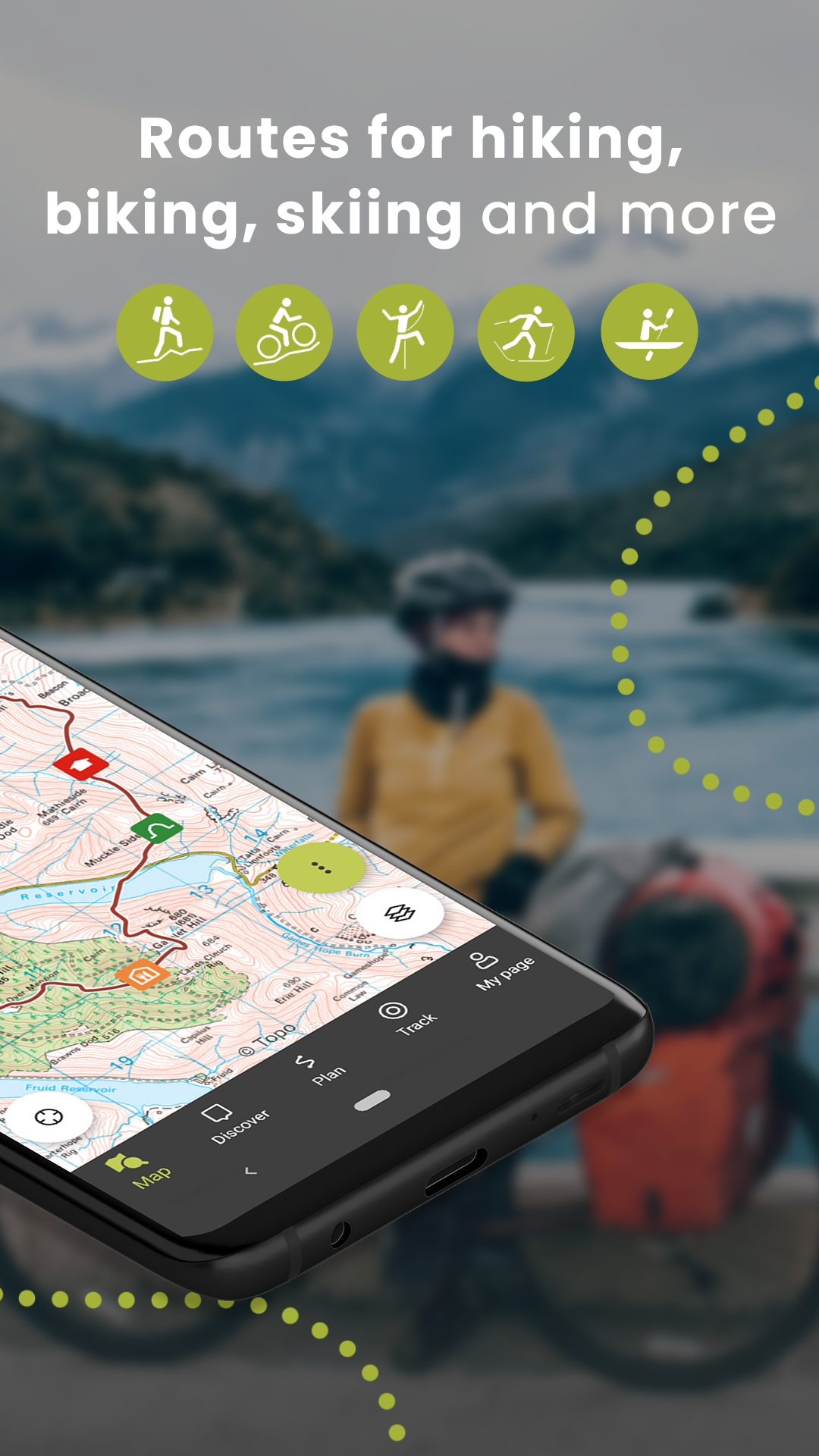
The Outdooractive App for all smartphones, tablets & Wear OS is the perfect companion for hiking, cycling, biking, walking, running, and other outdoor activities. With the app, you can find and plan routes & trails around the USA with ease. Go Pro and get access to exclusive features like maps from Utah USGS® (os maps).
Excellent in-class outdoor trail maps:
Enjoy a high-resolution display of all maps and at all zoom levels thanks to our state-of-the-art vector technology. Our digital summer and winter layers are based on OpenStreetMap, and Pro and Pro+ members can also benefit from many other outdoor gps maps, such as the os maps from Utah USGS®. All of that is there to help you enjoy outdoor activities like hiking, cycling, trekking, running, walking, biking, & mountain biking MTB any day of the year.
Outdoor Route & Hiking Trails Planner:
Our Route Planner lets you easily plan and create all trails & routes based on your preferences. You can add text and photos to these, publish them within the community or share them privately with friends. You can also import and export GPX files as required. You can plan all trails and routes for any activity you are excited about, like cycling, trekking, hiking, walking, MTB or any other outdoor activity.
Recording your own Tracks & Trails:
The tracking functionality allows you to record all your own tracks & mountain bike trails to include duration, distance, altitudes, and an interactive altitude profile with outdoor GPS
Navigation:
The navigation function with speech output lets you navigate comfortably from A to B on all trails & routes. Enjoy hiking, cycling, trekking, walking routes & more with our GPS navigation with speech output.
Smartwatches with WEAR OS from Google:
Save offline maps to your watch and use it in standalone operation, letting you leave your phone at home. Record tracks and upload them directly to your account. Works without a data connection.
Global Hiking Trails Database:
Discover inspiring trail guides from tourism agencies and the community. Then, navigate with confidence and our outdoor GPS on your next hike, run, cycle, trekking & walking routes, backpacking trip, or outdoor adventure.
Outdoor Challenges:
Challenges are a fun way to motivate yourself to be more active. Earn achievement badges, win prizes, and reach your goals by using the app to record all your outdoor activities like trekking, hiking, cycling and walking routes.
Exclusively for Pro members
Add a Pro subscription and get all the latest offline maps from Ordnance Survey® (os maps), providing accurate information about hiking and cycling trails, protected areas, and details about many other outdoor activities with our outdoor GPS.
Go anywhere: Outdooractive Pro works offline without mobile and data signals. Access satellite imagery, and with our unique Outdooractive map, you’ll get over 30 activity trail networks and official topographic offline maps from across the world with the following providers:
Utah USGS; France IGN; Germany BKG; Austria BEV; Spain CNIG; Italy; Netherlands PDOK; Norway Kartverket; Switzerland swisstopo; Denmark Kortforsyningen; Sweden Lantmäteriet; Finland National Land Survey; New Zealand Land Information; Great Britain Ordnance Survey Landranger & Explorer; Japan GSI and Global Map
BuddyBeacon:
Safety first: Share your real-time location with all friends and family. Be safe and enjoy hiking, cycling, walking routes, trekking and more.
A Global Outdoor Travel Guide:
Helpful filters and our powerful search functions help you not only find all trails but also places of interest, accommodation, and events. Our global outdoor travel guide supports you while hiking, cycling, walking routes, trekking and more.
If you have questions or suggestions, please visit https://www.outdooractive.com/en/helpcenter/
Open up


Download Outdooractive: Hiking Trails APK for Android
1. Click "download Outdooractive: Hiking Trails APK for Android"
2. Install Outdooractive: Hiking Trails
3. Launch and enjoy Outdooractive: Hiking Trails
Get from Play Store
1. Click "Get from Play Store
2. Download Outdooractive: Hiking Trails from the Play Store
3. Launch and enjoy Outdooractive: Hiking Trails
Comments about Outdooractive: Hiking Trails Android Version
Overall, a great app. I'd give it 5 stars if not these issues: 1. Sometimes, the app just stops on its own. Even if I'm tracking my route! I have to reopen it and restart the navigation. This makes the whole tracking functionality useless, since I end up with a lot of separate tracks recorded for my route. 2. The ads in the app don't have a fixed height. And when I open any page, ads load after the main content. This makes the content shift around, which this makes it very hard to read it.
looks good, but the user experience isn't too great. After installation, you can enter two way points, but then you have to sign up. After sign up, the app promises you can use it without immediate activation, but if you choose this, your waypoints are forgotten. then the cycle stays anew. you also can find routes on the web version that you can't find in the app. downloading therm in the mobile browser doesn't allow you to import them into the app. uninstalling right away.
I'm another one of the users of ViewRanger, who were transferred to OA. I tried the app on several walks. Conclusion: I'll pass. The battery drain on the phone is huge, even without Buddy beacon on. I wished that there was a function in OA that would only activate GPS when you request a position update, as was possible in VR, where you could just take a quick look on the route without recording the track. Will use Memory Map from now on, albeit more expensive. I need a reliable tool, no toy.
Is Outdooractive: Hiking Trails safe for my device?
Open up
Yes, Outdooractive: Hiking Trails follows the Google Play content guidelines to ensure safe use on your Android device.
What is an XAPK file, and what should I do if the Outdooractive: Hiking Trails I downloaded is an XAPK file?
Open up
A file with .xapk extension is a compressed package file. It is a container file format that incorporates APK and additional associated files required for the installation.
The XAPK format was introduced to package the APK file and OBB file together for a seamless delivery and installation process.
XAPK format can help reduce the package size of application.
On mobile phones, users need to install the XAPK installer first, and then install XAPK files through that installer. You can find the installer here:https://apkcombo.com/how-to-install/. But on PC client, you just need to put the file on LDPlayer.
Can I play Outdooractive: Hiking Trails on my computer?
Open up
Yes, you can play Outdooractive: Hiking Trails on your computer by installing LDPlayer, an Android emulator. After installing LDPlayer, simply drag and drop the downloaded APK file into the emulator to start playing Outdooractive: Hiking Trails on PC. Alternatively, you can open the emulator, search for the game or app you want to play, and install it from there.
Search Recommendation